Molino Basin is a gateway to a number of truly fantastic areas in the Santa Catalina Mountains. One great off-trail destination is Airmen Peak. Although no official trails exist to the peak there are several ways to the top – this blog post describes hiking to Airmen Peak by of way Molino Canyon to the east and the West Fork of Molino Canyon to the West. While certainly not the fastest or easiest route it is interesting because it takes you thru two wonderful canyons on the way to and from Airmen Peak.
As always, be very cautious about off-trail travel in the Santa Catalina mountains – the route below is only on official trails for about the first five minutes. If you are not comfortable scrambling off trail, on steep terrain and near sheer cliffs this hike should be avoided.
Mile 0 – The starting spot for this hike is the Molino Basin parking area. This area is on the left side of the Catalina Highway between mile markers 5 and 6 as you head up the mountain (well signed). There is a campground at Molino Basin that is open during the winter. After starting just off the parking area the trail crosses the road. You will pass a large Arizona Trail sign and just a few minutes after that leave the trail to begin travelling up Molino canyon. To work up canyon to the top of the first falls you have two choices – an obvious, but unofficial, trail that starts just before the Arizona Trail crosses the canyon – or simply walk up the canyon bottom. While the trail may be faster the canyon bottom is more beautiful and often has small pools of water and plenty to see – Canyon Treefrogs, Ferocious Water Bugs and Black-necked Garter Snakes were some of the animals I saw this trip.
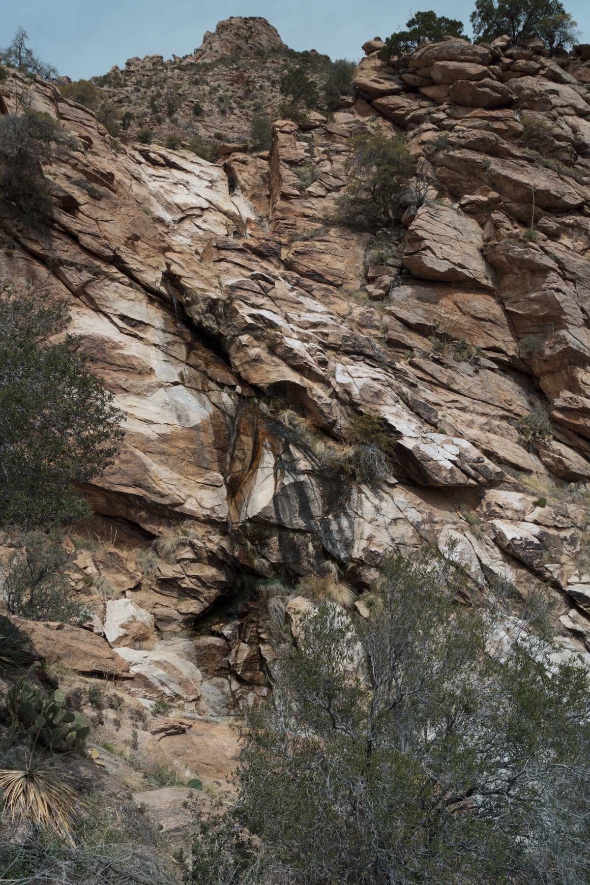
As you approach the first falls (pictured below) the trail will take you up the left side (looking up canyon) of the canyon and eventually deposit you in the canyon bottom. If you followed the canyon simply work up the hillside to your left and catch the trail to get to the top. Once you are above the falls the rest of the hike will be off-trail.
About 10 minutes past the falls a drainage comes in from the west – this is the drainage mentioned in the Mountain Project description of the approach to the Stonewall climbing area.
Mile 1 – The canyon continues to steepen – occasional sections of slippery water polished rock and large boulders present some challenges to scramble up and/or work around.
Eventually the scrambling ends and the canyon levels out into a sand and rock walkway. This section of the canyon is a great destination – perhaps camp for the night and explore the surrounding area! Just a few minutes after the canyon levels out look for a smaller drainage coming in from the left (easy to spot and often marked with a cairn). This drainage will take you to west towards Airmen Peak.
Mile 2 – As the small drainage bends to the north you get a good view of the rocky cliffs of Airmen Peak and a view of the small saddle you will be hiking to.
Leave the drainage and take the path of least resistance towards the saddle. As you near the saddle look to your left for the overgrown slope (to the south) that can be used to gain the peak – head up this slope anywhere that seems feasible. Progress is slow as you work up the steep slope and, finally, onto the rocky summit. The summit area offers views in every direction – plan on spending some time exploring – this is a great area!
Mile 3 – I wandered around the summit area and nearby ridge enjoying the views for quite a while. But eventually it was time to head down. There are a number of ways back to Molino Basin – but I love taking the West Fork of Molino Canyon down. Work back down the steep hillside, to the saddle and then continue down into the West Fork of Molino!
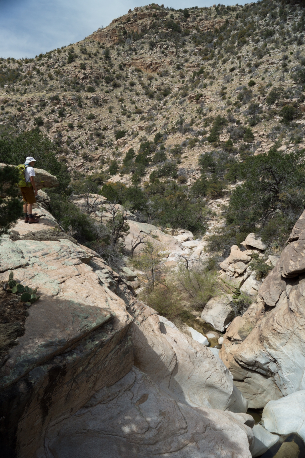
Mile 4 – The West Fork is steeper, more rugged and has more obstacles than Molino Canyon. There are several sections where you will need to exit the canyon to work around falls/steep sections – if you are short on time or Molino Canyon was at the limit of (or beyond) what you are comfortable with I strongly recommend going back down Molino Canyon rather than going down the West Fork! After some beautiful sections of carved rock you will come to the first of several cliffs/falls that you will need to work around – picture below – I have found leaving the canyon and working around the left side (looking down canyon) to be a good approach (be sure to explore your options cautiously and carefully!).

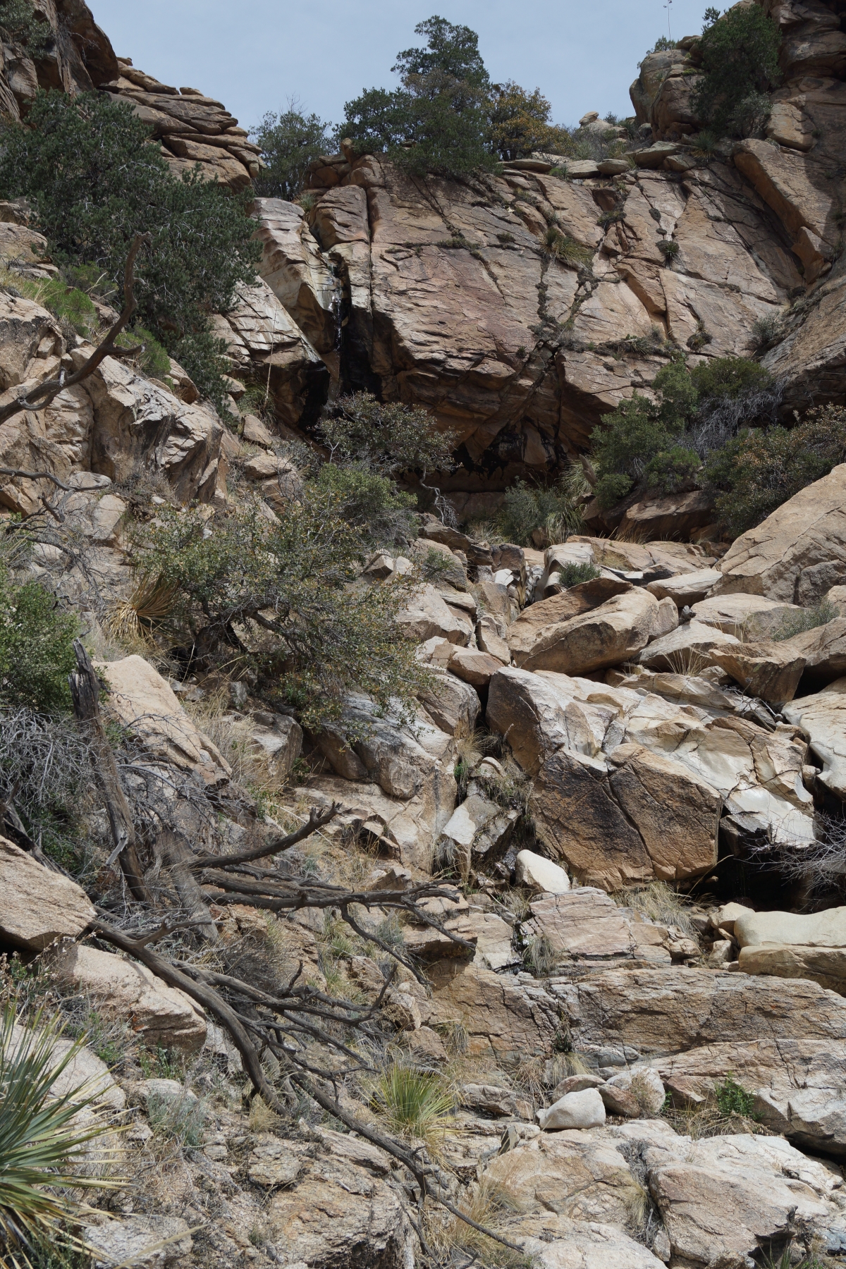
The second set of falls is not too far down canyon and are bigger than the first set! Exit to the right (looking down canyon) and find a small, but obvious, drainage that angles back into the canyon – it will take you far enough down canyon to bypass both the falls pictured below and another smaller/steep below.

The hillside/drainage here can be very bushy, with some care it is possible to find a reasonable path down (although there is no escaping the brush) – you may pick up some friends along the way…
Mile 5 – More great canyon bottom and then one more set of falls to work around. Exit to the right (looking down canyon) and look for a faint path that contours along the cliffs, past a tree, and over some rocky sections to a chute or hillside that leads back to the bottom of the canyon. Take care working around these falls – while there is not any difficult scrambling along this path there are a few minutes of walking along the edge of a rather steep/tall cliff!

Once back in the canyon bottom there is a joyful section of rock hopping thru beautiful canyon and all too soon you are at the highway – continue under the highway and down the canyon – you will pass behind several camp sites and then eventually hit the Molino Basin campground road a minute or two from your car, just as your mileage hits 6!
This trip may not be the fastest way to get up to Airmen Peak and back – but it is an amazing chance to travel some beautiful terrain if you are up for an off-trail adventure.