This is part 3 in a series of posts on the Sky Island Traverse – previous post: A Windmill to the West.
The Curtis Windmill is now a familiar landmark along Highway 80, but not a place to linger – after parking I gather my gear enter the sea of Creosote thru the western gate.

Gate to the west off of Highway 80 into Arizona State Trust Land
For several miles the dirt road heads gently downhill to a locked green gate on the boundary of the San Pedro Riparian National Conservation Area – this area was created in 1988 “to protect and enhance the desert riparian ecosystem, a rare remnant of what was once an extensive network of similar riparian systems throughout the American Southwest.”
A quick detour to the right – around the gate and thru the fence – and back to the road. The road looses elevation quickly here which is fine with me, I am anxious to be down in the ribbon of green.

The green of the San Pedro River in the distance
As I get closer to the river a windmill appears – AERMOTOR on the tail – water in the tank – an old wheel lying nearby on the ground – gear box exposed and rusted.

Working windmill near the San Pedro
The road comes to an end and I slow down as an overgrown foot path takes me west to the river – small paths eventually lead down to water and shade. The river alternates between joyous wet sections and blindingly bright dry sections – I see too many bright red Vermilion Flycatchers to count, send Great Blue Herons flying upriver and watch Coati from behind a fallen tree.
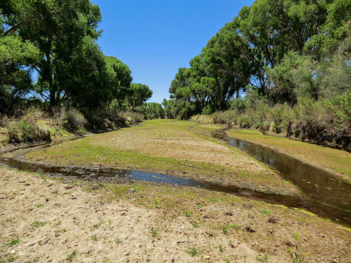 A wet section of the San Pedro River – along my route it alternated between sections like this and sandy dry sections
The San Pedro flows – undammed – north into Arizona from the Sierra Madre Occidental in Mexico to the Gila River. It is hard to imagine what this area must have been like nearly two centuries ago when James Ohio Pattie called it the Beaver River.
Just after the Contention Ruins I trade the sandy river bed for a small path on the east side of the river – artifacts from the San Pedro’s long history occasionally appear. Soon I turn east along Willow Wash – across and up to the signed junction with the San Pedro Trail – on towards the Grand Central Mill.

Remains of the Grand Central Mill
The Grand Central Mill was a silver processing stamp mill that processed ore-bearing rock from the mines in the Tombstone area – there are a number of mills along the San Pedro. At another signed junction I take a side trail to the Fairbank Cemetery – old graves overlooking the San Pedro, it feels lonely here and I move on…

Fairbank Cemetery – looking down on the San Pedro
The last stop for the day is of the Fairbank Historic Townsite a recent and well preserved part of the San Pedro’s 13,000 years of human history.

The last gate of the day.
There are parking lots on either side of Highway 82 and today I am glad to step into the car and escape the summer heat!

Map with comments – High Resolution JPEG (3.1 MB) or High Resolution PDF (2.5 MB)
Notes:
-If you are interested in the San Pedro River be sure to visit the Friends of the San Pedro River website – “The Friends of the San Pedro River (FSPR), founded in 1987, is a mostly volunteer, non-profit organization dedicated to the conservation and restoration of the river through advocacy, education, and interpretation.”
-Expect flow and conditions in the San Pedro to be constantly changing – this area can be brutally hot and flash floods are a possibility.
-This route largely follows the published Sky Island Traverse route.
-The first several miles of this route are on Arizona State Trust Land which requires a permit (be prepared for a delay since you will most likely obtain your permit via the USPS).
Looking forward to future entries in this series. I appreciate the efforts taken to improve the route, with an eye toward making it fit for endorsement before a general audience. However, I do get that there may still be some discomfort here, particularly if covering the entire route. With this in mind, perhaps certain segments could be highlighted here, those that the readership would find more appealing, and in doing so, help to foster an appreciation of the "connected whole" of the greater Sky Island region. Nice work so far!