I have long been fan a of Garmin; handheld GPS units. Most all of the Garmin units I’ve tested have been accurate, reliable, light, rugged, and well designed.
Our most popular models are in Garmin’s “Mapping Handhelds” product category, designating units that can display optional maps and usually with built in base maps. As of this writing Garmin has an overwhelming 25 different models in this category, with prices ranging from around $150 all the way to $600.
Like any gear geek, I am influenced by my own biases when trying to pick out what I think are the most desirable units, so I might as well tell you up front what those biases are. With backcountry foot travel my primary activity, I prefer units that are light, compact, have long battery life, can store a lot of waypoints, and offer a useful topo map display.
My favorite units in this Garmin grouping are the recently released Dakota™20 and the now venerable eTrex Vista HCx and eTrex Legend HCx models.

Dakota 20
There is a lot to like about brand new Dakota 20. Priced at about $350, its most obvious feature is a slick and responsive touchscreen with color output that is reasonably easy to read. Weighing a mere 5.3 ounces (including lithium batteries), it is packed with features including an altimeter/barometer, an electronic compass, turn by turn routing on roadways (with optional software), the ability to transmit data wirelessly with other compatible units, and a wireless receiver that interacts with optional heart monitors or bicycle cadence sensors. The list goes on. The touchscreen and menu system is not as sophisticated as that found on an iPhone, but is very effective and satisfying to use. Battery life isn’t bad at 20 hours, but to achieve this, power hungry features like the electronic compass must be turned off. (The compass can be easily turned off or on using menu commands.) It stores a thousand waypoints and accepts a micro-SD storage card which can be used to install vast amounts of optional mapping software.
The Dakota 20 works with a bunch of optional map products, but I use the “TOPO U.S. 24K” series from Garmin which are similar to 7.5 minute, 1:24,000 scale USGS maps. These digital maps scale well and are readable enough to be quite useful in the field. Garmin publishes them on micro-SD cards which slip into the SD port in the GPS unit and on DVDs.
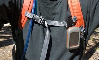
A few caveats are in order however. This map series lacks some of the fidelity and rich detail typical of USGS maps, and though they present trails and roads, I have noticed some errors with road and trail locations, naming, and incomplete information. However, I continue to use USGS maps (via TOPO! software) and I find the on-board GPS topo map a valuable supplement. I usually carry my GPS clipped on an accessible pack shoulder strap, and like having the topographic information readily available on the unit screen, since my paper USGS map is often stashed away in the pack.


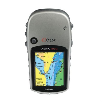
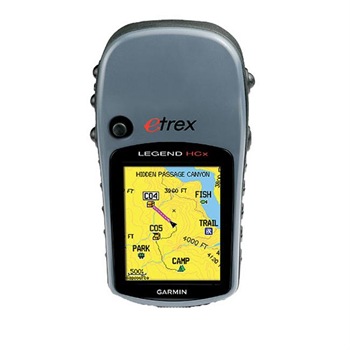
eTrex Vista HCx and eTrex Legend HCx
The eTrex Vista HCx and eTrex Legend HCx have been around for a while now, but are still units I recommend. They weigh about 5.5 ounces and are about the same size as the Dakota. These units do not have a touch screen, but instead use buttons and a small cursor stick to navigate a sensible and well featured menu system, displayed on a readable color screen. The battery life is outstanding on both units at 25 hours or so, and both accept a micro-SD storage card, so they are well suited for use with optional mapping products like the TOPO U.S. 24K maps. Both models can store up to 1,000 waypoints, just like the Dakota 20. The Vista HCx sells for about $300 and includes an altimeter/barometer and electronic compass; but as with the Dakota 20, the compass should be turned off to maximize battery life. Without the altimeter/barometer and electronic compass, the Legend HCx is a lean, mean, GPS map machine, selling for around $250.
Compact, light, and powerful, I like and recommend these three Garmin models for backcountry navigation.

Using an optional belt clip