In 2012 an extension to the Incinerator Ridge Trail was completed that connects the existing trail to the San Pedro Vista.
This extension is a short – but important – addition to the trail system in the Santa Catalina Mountains. It provides a useful link between trails outside of the Pusch Ridge Wilderness lower on the mountain (Bellota, Bug Spring, Green Mountain) and higher on the mountain (Butterfly, Crystal Spring, Oracle Ridge). The extension helps form an alternate route for the Arizona Trail – especially useful for mountain bikers who are prohibited from riding in the Pusch Ridge Wilderness.
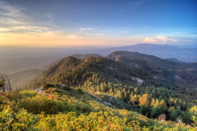
This extension also creates the opportunity for a lovely day hike taking you from the San Pedro Vista up to Mount Bigelow with outstanding views of the San Pedro Valley, Galiuro Mountains and views thru the Santa Catalina mountains down into Tucson – all in just over 5 miles with 1800 feet of climbing/descent (round-trip)!
The hike starts at the San Pedro Vista (approximately 17 miles up the highway) – a trail marker on the north side of the parking area marks the start of the trail. The trail climbs from the parking area – takes you along a ridge – and then up and thru the rocky cliffs in the Barnum Rock area. The steepness of the trail eases for a bit as you turn north and start to get views of Leopold Point and the popular Ridgeline Climbing Area.
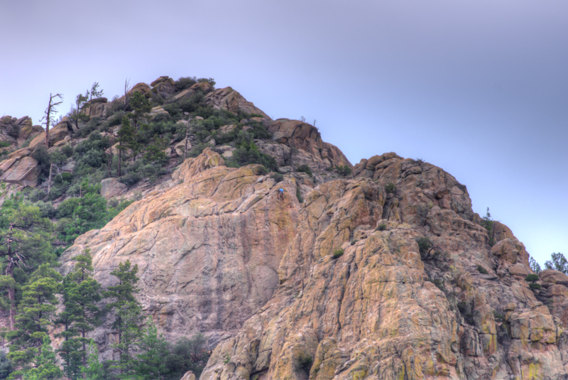
Leopold Point (named for naturalist Aldo Leopold) and the Ridgeline Climbing Area
As you continue north the trail passes unofficial trails to the left (down to a parking area on the highway used frequently by climbers accessing the area), to the right (over to the Ridgeline Climbing Area) and then to the right again (from a small saddle up to Leopold Point).
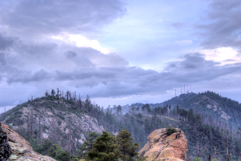
Mount Bigelow from near Leopold Point – the trails up to Mount Bigelow follow the hills and ridges visible in the picture.
After more climbing the trail reaches another section of beautiful ridgeline.

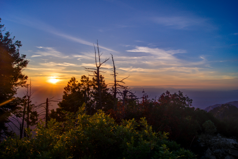
Clouds and Sun behind Mount Bigelow from the Incinerator Ridge Trail

Tucson City lights from the Incinerator Ridge Trail
The trail passes a signed junction with the Knagge Trail (at a well-used campsite) and then arrives at the end of the Incinerator Ridge Road. This is the end of the Incinerator Ridge Trail – to continue up towards Mount Bigelow cross the road and go thru a parking spot to continue along the Kellogg Trail. Take the Kellogg Trail to a signed junction with the Butterfly and Mount Bigelow Trails. At this junction you are just below Kellogg Mountain – if you are comfortable traveling off-trail (be cautious and careful!) you might take a detour and make your way to the top…
Sunrise from Kellogg Mountain
Looking back along the ridge from Kellogg Mountain
From the junction continue on the Butterfly trail to the Northwest. The trail climbs towards Mount Bigelow eventually meeting a dirt road with buildings and towers just across the road – a right on the dirt road will take you towards the Butterfly Trail Parking area. The facilities on Mount Bigelow keep it from being one of my favorite peaks – but there are great views and it is certainly worth visiting!!!

Sunset over Mount Lemmon

Map with comments – High Resolution PDF (4.73 mb) or High Resolution JPEG (5.55 mb)
Very valuable map and wonderful picutres. Thanks for posting.
Bill G